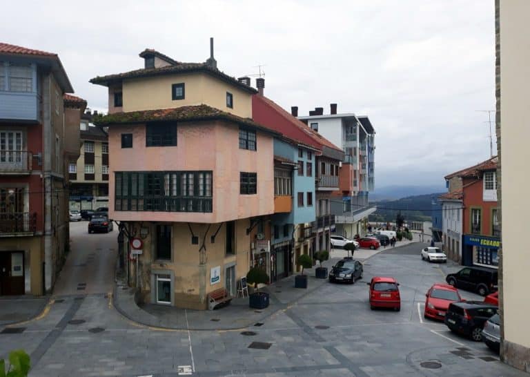
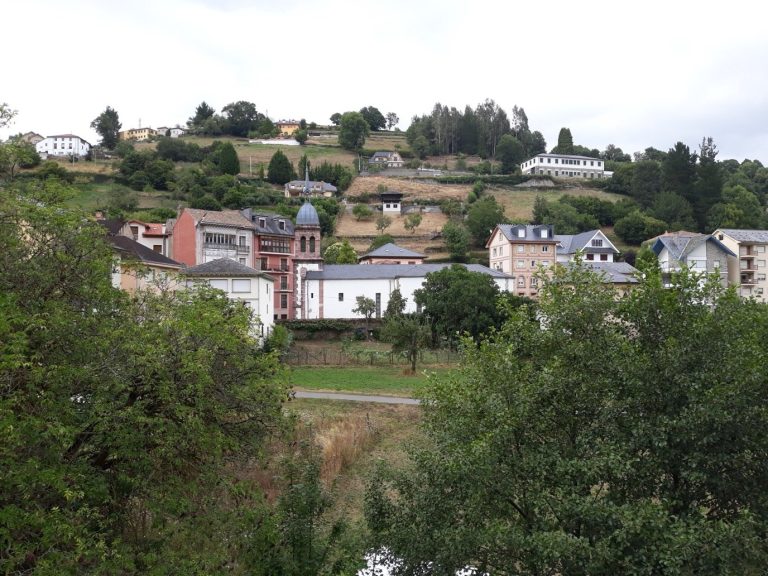
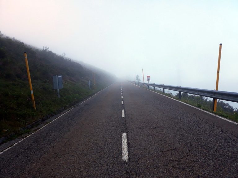
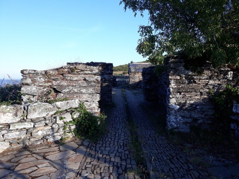
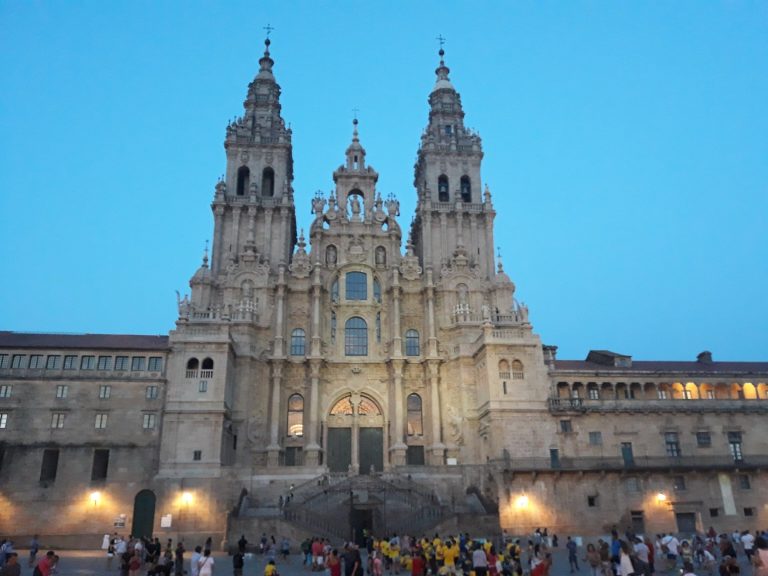
Photo: Simon Burchell, CC BY-SA 4.0


Camino Primitivo: from Oviedo to Santiago via Lugo, stage by stage
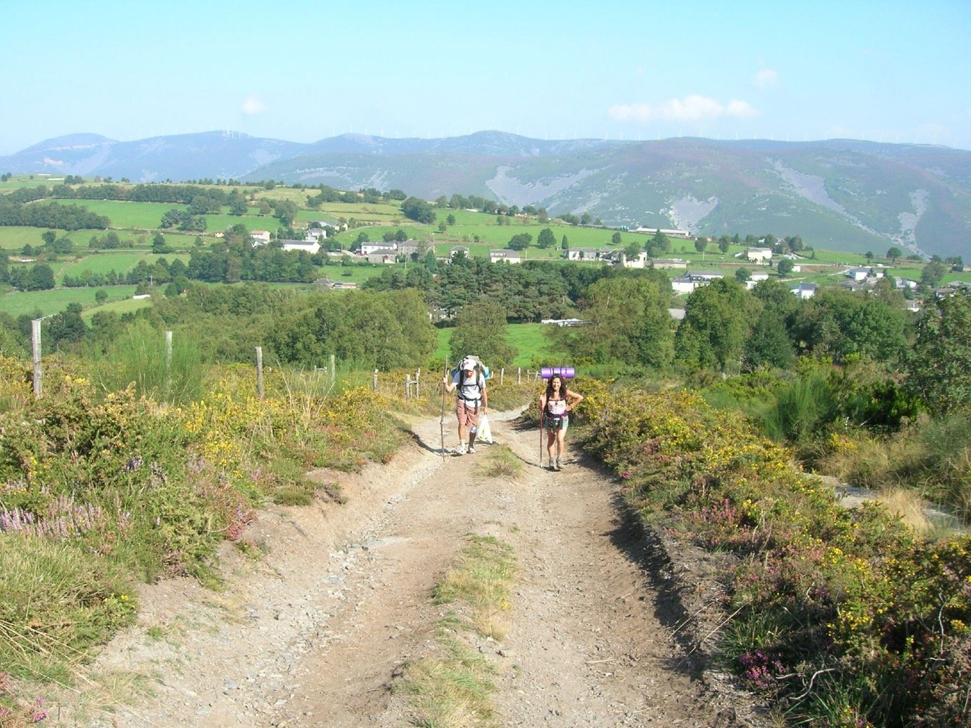
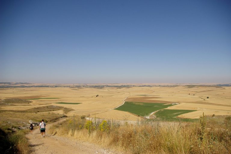
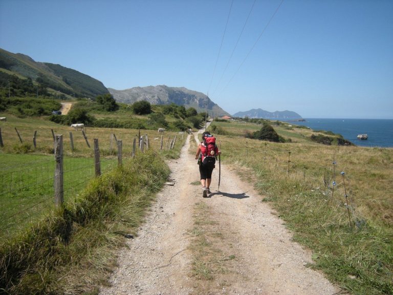
The Camino Primitivo, the Primitive Way, links the cathedral of Oviedo to Santiago through the mountains of western Asturias, the Puerto del Palo, the Salime dam, A Fonsagrada and the Roman walls of Lugo, then joins the Camino Francés at Melide, a little under 53 km from the end.
- Classic start
- Oviedo
- How long
- 312 km, about 20 days at 16 km a day
- Difficulty
- Very hard, 7,001 m of ascent
Camino Primitivo elevation profile: Puerto del Palo, Salime and the mountains of Lugo
The elevation profile, computed along the route from the Copernicus European terrain model, strings climbs and descents together as far as Lugo, then eases.
Hover over a stage to read it, click to open it on the map.
- Easy
- Moderate
- Hard
- Very hard
How many days for the Camino Primitivo: two weeks, five days from Lugo
The Camino Primitivo splits into two sections. From Oviedo to Lugo, nine stages and 212 km of Asturian and Galician mountains, with the longest and steepest days of the route.
Lugo and the 100 km threshold
The track measured on OpenStreetMap gives 100.1 km between the centre of Lugo and the cathedral of Santiago, and on 2 February 2022 the Xunta placed a kilometre 100 marker on the central walkway of the Ronda das Fontiñas, inside the city. The margin is thin: have your credencial stamped in Lugo before you set off, then twice a day as far as Santiago.
Days without supplies
On the Hospitales route, Gronze counts about 23 km without any services between Samblismo, after Borres, and Berducedo; Senditur notes that the few water points on the ridge are used by livestock. Set off with the day’s water and food. On the main route, the Asturias tourist board describes no more than a few isolated farms between Pola de Allande and the Alto del Palo.
Read more
From Lugo to Santiago, five stages and 100 km of hills, the last three of them, 52.9 km, on the Camino Francés. Enter your available days and your pace; the planner suggests the starting point that gets you to Santiago in the time you have, with a day-by-day breakdown.
The stages of the classic breakdown run from 14 to 30 km: the shortest links Melide to Arzúa, the longest O Cádavo to Lugo. If you want the Compostela, tick the option: any start less than 100 km from Santiago is ruled out, and Lugo, at a bare 100 km on the measured track, remains the usual start for earning it. The selected section is highlighted on the map.
Camino Primitivo stages from Oviedo to Santiago
The table follows the classic breakdown into 14 stages, with the distance, the elevation gain, the estimated walking time and the town at the end. Distances and elevation are measured on the OpenStreetMap route; times follow the Swiss hiking method, breaks excluded, and here the climbing weighs as much as the kilometres.
The breakdown can be adjusted, but the overnight stops are further apart than on the Francés: the Asturian stage towns have three to six recorded places to stay. The Asturias tourist board ends the stage after Pola de Allande in Berducedo, 17.4 km further on, before La Mesa; pilgrim.es ends the one after Lugo in Ferreira rather than San Romao da Retorta. The planner follows the places in the table. For the Compostela, remember the two daily stamps from Lugo onwards.

What to see on the Camino Primitivo, from Oviedo to Melide
The places below appear on the map and in the stage table, with the distance left to Santiago.
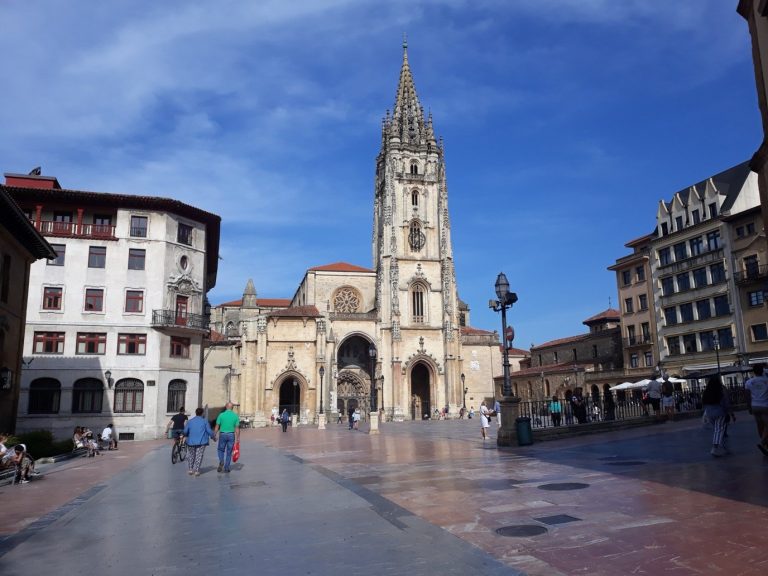
Photo: Simon Burchell, CC BY-SA 4.0The cathedral of San Salvador houses the Cámara Santa, a 9th-century chapel that keeps the Arca Santa, the Holy Shroud of Oviedo, the Cross of Victory and the Cross of the Angels; the statue of the Saviour, on the south side of the transept, marks the start of the route.
Photo: Simon Burchell, CC BY-SA 4.0Grado
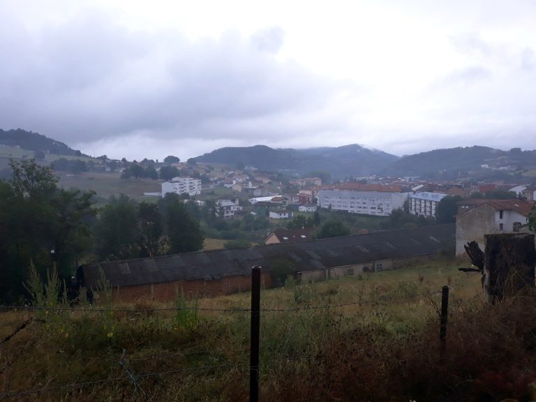
The first stage town, at 65 m above sea level, at the foot of the climb to Salas; its traditional market has been held on Wednesdays and Sundays since 1256, and the Baroque chapel of Los Dolores dates from the 18th century. The route comes in over the Peñaflor bridge, whose origins go back to the 12th century.
Photo: Wikimedia Commons, CC0Monastery of Cornellana
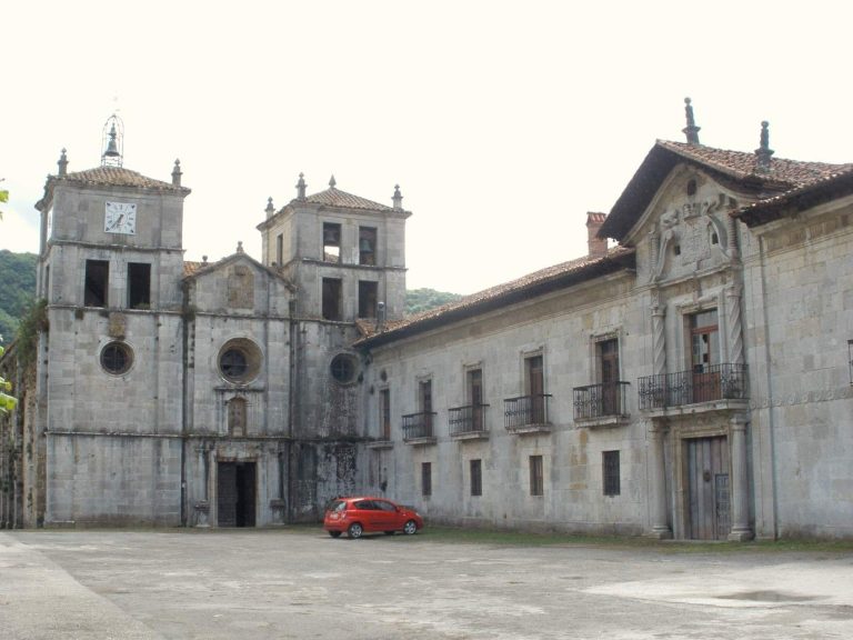
Founded on 31 May 1024 by the infanta Cristina, daughter of King Vermudo II of León, then handed to Cluny in 1122, San Salvador de Cornellana stands on the stage from Grado to Salas; it has been among the elements of the UNESCO property since 2015, in a state more Baroque than Romanesque, awaiting restoration.
Photo: Simon Burchell, CC BY-SA 4.0Salas
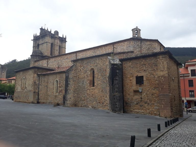
A town at 239 m dominated by the 14th-century medieval tower and the 16th-century palace of the Valdés-Salas; the collegiate church of Santa María la Mayor keeps the alabaster mausoleum of Fernando de Valdés Salas, carved by Pompeo Leoni between 1576 and 1582.
Photo: Simon Burchell, CC BY-SA 4.0Tineo
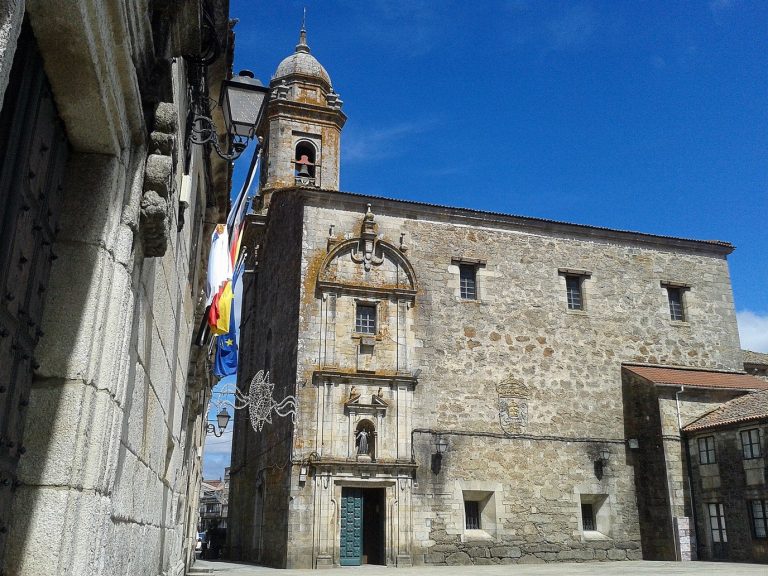
A town at 652 m, up on the heights; in 1222, King Alfonso IX ordered pilgrims to pass through Tineo and by the nearby monastery of Obona, whose present buildings date for the most part from the 18th century. After Tineo, the route passes through Borres, where the Hospitales route branches off.
Photo: Simon Burchell, CC BY-SA 4.0Pola de Allande
The chief town of Allande at 529 m, houses built by returning emigrants (indianos) and the palace of the Cienfuegos; the last stop before the climb to the Puerto del Palo, which walkers who left by the Hospitales do not see.
Photo: Simon Burchell, CC BY-SA 4.0Puerto del Palo
A pass at 1,146 m according to the Asturias tourist board, the highest point of the main route; the climb from Pola de Allande gains about 600 m, over eight kilometres according to the tourist board’s stage page, over about 11 km according to its cycling sheet, before the descent to Montefurado, Lago and Berducedo.
Photo: Simon Burchell, CC BY-SA 4.0Hospitales route
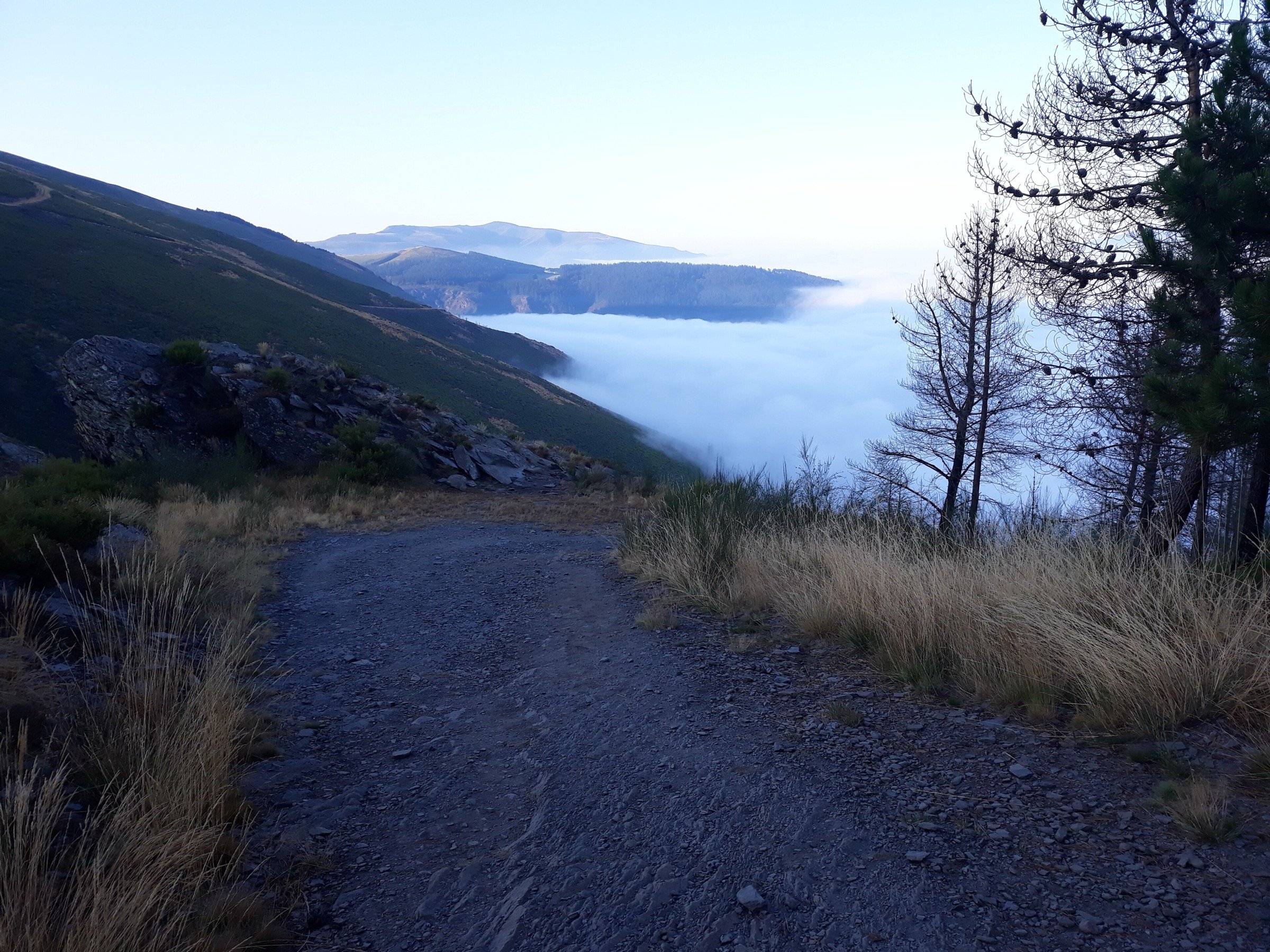
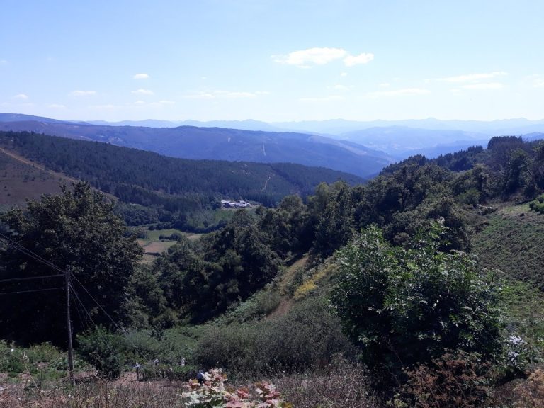
A ridge variant between Borres and the Puerto del Palo, 13.8 km off the main route, which climbs above 1,200 m and passes the ruins of four pilgrim hospitals, Paradiella, Fonfaraón, Valparaíso and La Freita; no services along the way and, in clear weather, open views from the ridge.
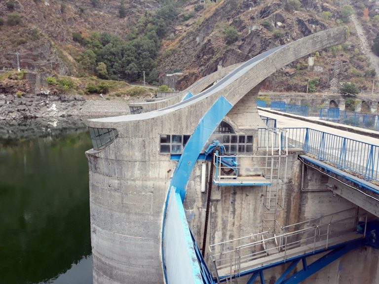
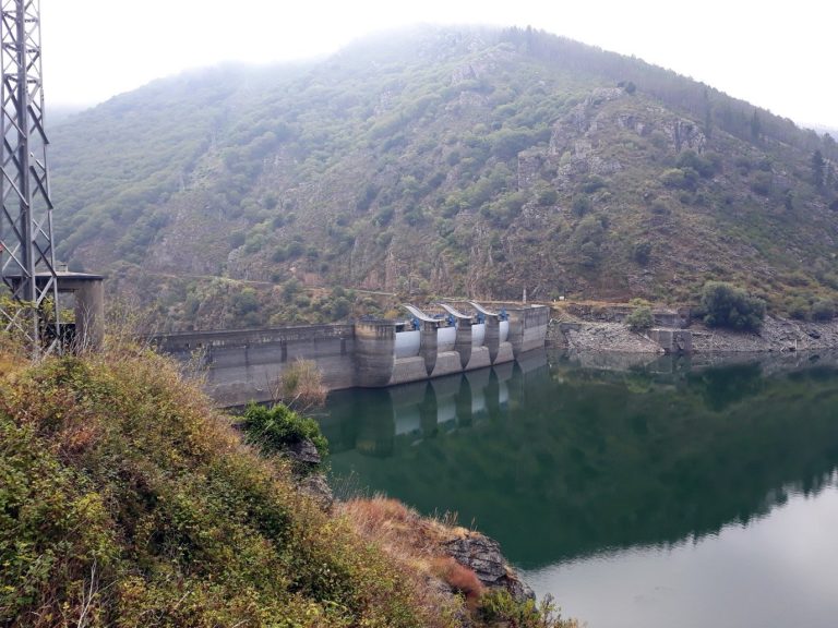
Photo: Simon Burchell, CC BY-SA 4.0Salime dam
A 128 m wall across the Navia, completed in the mid-1950s; the route drops to 223 m and crosses the crest of the dam by the road.
Photo: Simon Burchell, CC BY-SA 4.0Grandas de Salime
A town about 6 km above the dam, where the ethnographic museum, created in 1986 in the former rectory, shows rural life in western Asturias; the Chao Samartín hill fort is a few kilometres away.
Photo: Simon Burchell, CC BY-SA 4.0A Fonsagrada
The first town in Galicia, at 952 m, the chief town of the largest municipality in Galicia; the name comes from a spring held to be sacred. On the next stage, the ruins of the Montouto hospital, commissioned by King Peter I in the mid-14th century, still stand beside the route.
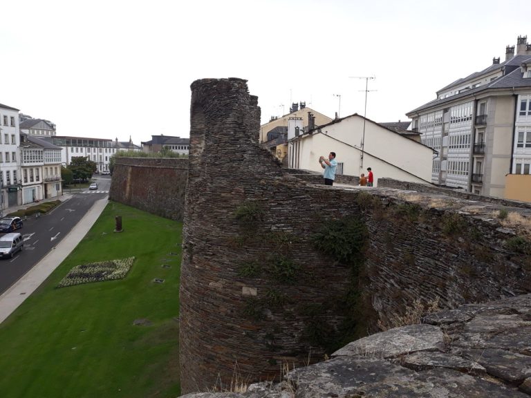
Photo: Simon Burchell, CC BY-SA 4.0Lugo
The Roman walls of the second half of the 3rd century, more than 2 km around with 71 surviving towers, on the World Heritage list since 2000 and part of the Routes of Santiago property since 2015; the route enters through the Porta de San Pedro. The cathedral of Santa María, begun in 1129, keeps the Blessed Sacrament on display at all times.
Photo: Wikimedia Commons, Public domainMelide
At 454 m, the junction with the Camino Francés, which brings its albergues and its walkers all at once; the Romanesque church of Santa María de Melide dates from the late 12th century. The town’s pulperías serve pulpo á feira, octopus boiled in a cauldron and served on a wooden plate.
Photo: Carlos Delgado, CC BY-SA 3.0Monte do Gozo
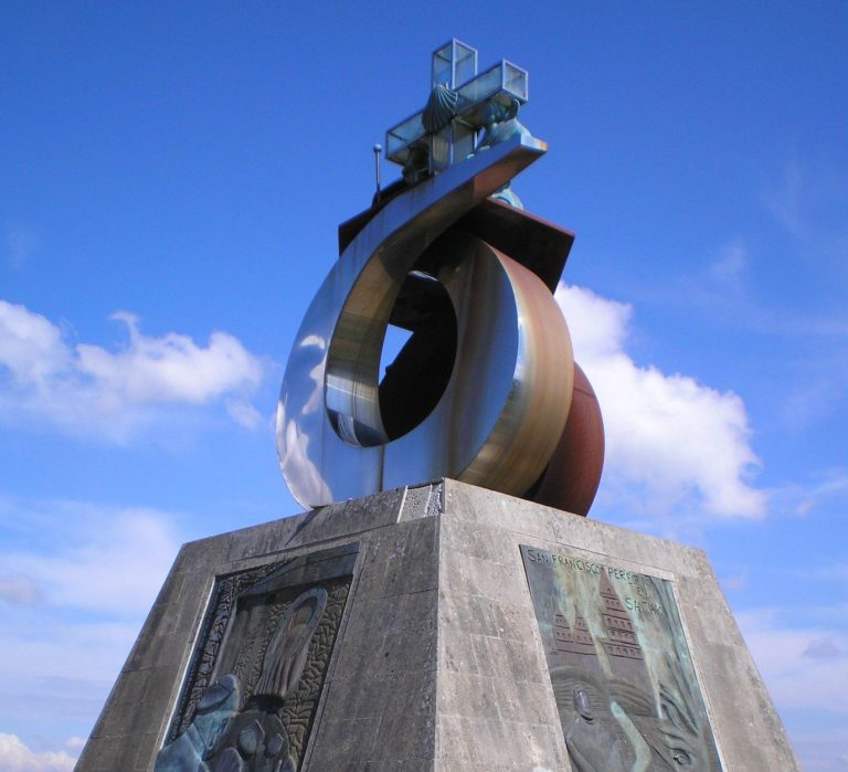
The last high point of the route, at 370 m above sea level and 4.5 km from the centre of Santiago, where pilgrims first catch sight of the cathedral towers, hence its name, the “mount of joy”; an albergue with several hundred beds hosts the last night.
Hospitales route or Pola de Allande: the Camino Primitivo variants
The main alternative on the route comes after Tineo. From Borres, the main route drops to Pola de Allande, where you sleep, then climbs the next day to the Puerto del Palo through El Mazo.
Hospitales: guidance checked on 25 October 2026
The Asturias tourist board (turismoasturias.es) recommends that walkers who choose the Hospitales sleep the night before in Campiello or Borres, to tackle the ridge in the morning. Hiking guides advise against the crossing in fog, when the waymarking posts vanish from one to the next, in snow, which wipes out the marks and calls for mountain equipment, and in strong wind; they recommend the GPS track, a charged phone, the day’s water and food, and warm clothes even in summer. The decision is taken that same morning, on the day’s forecast: in bad weather, the main route through Pola de Allande and the Puerto del Palo stays waymarked.
Read more
The Hospitales route leaves from the same fork, gains the ridges of the sierra de Fonfaraón and stays above 1,100 m for several kilometres, past the ruins of the hospitals of Paradiella, Fonfaraón, Valparaíso and La Freita, before meeting the main route again at the Puerto del Palo: 13.8 km off the main route, no services, water points used by livestock according to Senditur, and about 23 km without services from Samblismo to Berducedo according to Gronze. In clear weather, the ridge gives open views; the Asturias tourist board describes it as very steep, through uninhabited land, and for walkers in good shape.
After A Fonsagrada, a track passes through A Pobra de Burón, a town founded around 1200 and the chief town of the former municipality of Burón until 1835, and 11.5 km off the main route.
In Lugo, a loop of less than a kilometre follows the walls to the Porta de Santiago. Beyond Santiago, Cape Finisterre is three or four days’ walk away, Muxía a little further.
Albergues on the Camino Primitivo: where to sleep and what it costs
Albergues on the Camino Primitivo are fewer than on the Francés. The stage table gives the number of places to stay recorded in OpenStreetMap at each arrival town.
262 places to stay recorded along the route
- Private albergue1782,911 beds across 91 listings
- Hostal5996 beds across 6 listings
- Municipal albergue17435 beds across 17 listings
- Xunta albergue71,000 beds across 7 listings
- Parish albergue1177 beds across 1 listing
Accommodation recorded in OpenStreetMap: a guide to how much there is, not a complete list. Switch on the accommodation layer on the map to see where.
Find a bed in the stage towns
Affiliate map: if you book through it, the site earns a commission at no extra cost to you.
The map of hotels, guesthouses and apartments is provided by Stay22, which sets cookies once it loads.
To book or not
In July and August, book the private albergues at the stage towns between Oviedo and Lugo the day before; for the municipal ones, set off early. From Melide to Santiago, the rules of the Francés apply: book in summer and around Easter, and expect more pressure in the 2027 Holy Year.
Getting to Oviedo or Lugo, and back from Santiago
- Oviedo: Asturias airport is at Santiago del Monte, in the municipality of Castrillón; ALSA buses leave the terminal for Oviedo about every hour, from 6 am to midnight, for a ride of about three quarters of an hour according to comparison sites.
Indicative times, to be confirmed with the operators
The bus frequencies at Asturias airport come from Aena’s page; the bus time to Oviedo, from the comparison site Omio; the Madrid to Oviedo train time, from the Telecable blog; Madrid to Lugo and the airports near Lugo, from the Viaje Camino de Santiago guide; Santiago to Lugo by bus, from the Movelia ticketing site and Omio; line 6A and the Madrid to Santiago train, from ALSA’s page for the Santiago bus station. All of it was read on 25 October 2026, and not from the operators, whose timetables change with the season and the day of the week. Check and buy your tickets on alsa.es, renfe.com and monbus.es.
Keep a day between arriving in Santiago and your trip home
On a route this steep, a stage stretched by rain or tendonitis pushes back everything that follows. A flight or a train booked for the day after your planned arrival absorbs that delay, leaves time to visit the Pilgrim’s Office and gives you an evening in the old town.
Read more
By train, Renfe’s Alvia and AVE link Madrid to Oviedo in a little over three hours for the fastest, close to four depending on the stops, since the Pajares bypass opened in November 2023. The route starts at the cathedral, ten minutes on foot from the station.
Frequently asked questions
How many days does the Camino Primitivo take?
Fourteen stages for the whole route, that is two weeks without a rest day, fifteen or sixteen days with a break in Lugo or a stage split in two in Asturias. From Lugo, allow five days. Stages run from 14 to 30 km, but the climbing lengthens the days: the ascent to the Puerto del Palo or the crossing of the Hospitales takes longer than a flat stage of the same length.
Is the Camino Primitivo difficult?
It is the steepest of the four routes in this guide: 7,000 m of elevation gain over 312 km, that is more than 22 m of climbing per kilometre, against less than 14 on the Camino Francés. The Asturian stages string climbs and descents together, with the Puerto del Palo at 1,146 m and the plunge to the Salime dam; after Lugo, the terrain eases. It remains within reach of a trained walker with good shoes, a light pack and poles for the descents. Before two weeks of walking in the mountains, a visit to your doctor is worthwhile if you have any doubt about your fitness or an ongoing treatment.
Can you get the Compostela starting from Lugo?
Yes, it is the usual start for the 100 km required on foot: the measured track gives 100.1 km from the centre of Lugo to the cathedral, and in 2022 the Xunta placed a kilometre 100 marker on the Ronda das Fontiñas. Have your credencial stamped in Lugo when you set off, then at least twice a day. By bike, the rule rises to 200 km: start from Pola de Allande, 217.7 km from Santiago on the measured track, or from a point before it; La Mesa, at 195.6 km, is too close.
Should you take the Hospitales route?
In clear, dry weather, yes according to the guides consulted: the ridge gives open views and passes the ruins of the medieval hospitals, with no services over the 13.8 km of the variant. In fog, snow or strong wind, no: the waymarking disappears and the land is uninhabited. Sleep in Campiello or Borres the night before, check the forecast in the morning, carry water and food, and fall back on Pola de Allande if the weather turns.
What is the best time of year for the Camino Primitivo?
The sources consulted set no ideal season; they give dated facts. In 2025, the busy season was under way from April according to the tourist offices of Salas and Grado, quoted by Albergues Camino Santiago. In January 2024, the same site found albergues open in A Fonsagrada and in the municipality of Lugo, and the San Mateo albergue in O Cádavo closed until Holy Week. In winter, snow can cover the Hospitales and the Puerto del Palo, where Senditur and Gronze advise against the crossing, and albergue openings have to be checked village by village. Pilgrim.es reports frequent rain in the north and muddy sections in the rainy season: pack serious protection for your bag.
Do you need to book albergues on the Camino Primitivo?
Between Oviedo and Lugo, in July and August, book the private albergues at the stage towns the day before; they have three to a dozen recorded places to stay. Outside summer, arrive in good time for the municipal ones. Between Melide and Santiago, the rules of the Camino Francés apply: book in summer, at Easter and during the 2027 Holy Year; the public Xunta albergues are taken on arrival.
Why is it called the Camino Primitivo?
Because tradition makes it the first of the routes: in the 9th century, under Alfonso II of Asturias (791-842), a hermit reports lights in the forest of Libredón and the tomb attributed to the apostle is found; the king travels from Oviedo, his capital, to the place of the discovery and has a first church built there. The date varies with the source, 814 for the most widespread, around 830 for others. When the capital moves to León and the Camino Francés becomes the main road, the route from Oviedo keeps the name “primitivo”, that is, original.
Camino Francés, Camino del Norte and the Camino guide: related pages
The Camino Francés shares its last three stages with the Primitivo, from Melide to Santiago, 52.9 km; its start from Sarria is the equivalent of the start from Lugo: both meet the 100 km threshold.
Photo: MartinD, CC BY-SA 3.0Camino Francés
from Saint-Jean-Pied-de-Port
Photo: José Antonio Gil Martínez, CC BY 2.0Camino del Norte
from Irún
Photo: Simon Burchell, CC BY-SA 4.0Compare the routes
Camino de Santiago guide
Read more
The Camino del Norte is where the 38.7 km link to Oviedo described by the Asturias tourist board begins, at Casquita near Villaviciosa: coast and cities on one side, mountains on the other. The Camino Portugués, from Lisbon, Porto or Tui, is the flattest of the four routes in this guide. For the Compostela rules, the budget, the season and the packing list, the Camino de Santiago guide gathers the facts shared by all the routes.
Sources and checks
44 sources
- Wikipedia EN (UNESCO property 669, table of the 2015 elements) checked on October 25, 2026
- Wikipedia ES (Camino primitivo) checked on October 25, 2026
- Wikipedia ES (Alfonso II of Asturias) checked on October 25, 2026
- Wikipedia EN (Camino Primitivo) checked on October 25, 2026
- City of Santiago (santiago.es), citing the Oficina del Peregrino dashboard, article updated on 28 September 2026 and 23 October 2026 checked on October 25, 2026
- Xunta de Galicia, press release of 2 February 2022 (primary source) checked on October 25, 2026
- Oficina del Peregrino checked on October 24, 2026
- Senditur (stage 04b, ruta de los Hospitales) checked on October 25, 2026
- Turismo Asturias (Principado de Asturias), Camino Primitivo page checked on October 25, 2026
- Turismo Asturias, Pola de Allande to Berducedo stage page checked on October 25, 2026
- Turismo Asturias (Tineo to Grandas de Salime cycling route) checked on October 25, 2026
- Turismo Asturias (Coast to Primitivo link, official regional source) checked on October 25, 2026
- Gronze (article on the ruta de los Hospitales), spot check without extraction checked on October 25, 2026
- Pilgrim.es (Camino Primitivo stages on foot) checked on October 25, 2026
- Wikipedia ES (Oviedo cathedral) checked on October 25, 2026
- Wikipedia ES (Grado) checked on October 25, 2026
- Diario de León (“Mil años de Cornellana”, 2024); review of Miguel Calleja Puerta’s monograph (Studia Historica, 2025) checked on October 25, 2026
- Wikipedia ES (Salas) checked on October 25, 2026
- Wikipedia ES (Tineo) checked on October 25, 2026
- Wikipedia ES (Salime dam) and Wikipedia ES (Grandas de Salime) checked on October 25, 2026
- Wikipedia ES (A Fonsagrada) checked on October 25, 2026
- Wikipedia ES (Roman walls of Lugo) and Wikipedia ES (Lugo cathedral) checked on October 25, 2026
- Wikipedia ES (Mellid / Melide); Wise Pilgrim and Viaje Camino de Santiago for the pulpo (spot check) checked on October 25, 2026
- Wikipedia ES checked on October 24, 2026
- Xunta de Galicia, press release of 25 December 2025 checked on October 24, 2026
- Xunta de Galicia, official website of the Camino in Galicia checked on October 24, 2026
- Albergues Camino Santiago (article of 29 July 2025, citing the tourist offices of Salas and Grado and the Asociación Astur-Leonesa de Amigos del Camino) checked on October 25, 2026
- Albergues Camino Santiago (article of 22 January 2024) checked on October 25, 2026
- Aena (Asturias airport, bus page) checked on October 25, 2026
- Omio (comparison site, Asturias airport to Oviedo) checked on October 25, 2026
- Telecable blog (AVE Asturias guide, 2024); press (Onda Vasca, Railvolution) for the opening of the Pajares bypass checked on October 25, 2026
- Viaje Camino de Santiago (Cómo llegar a Lugo) checked on October 25, 2026
- Movelia (ticketing, Monbus Santiago airport to Lugo line) and Omio (Santiago to Lugo) checked on October 25, 2026
- ALSA (Santiago bus station) checked on October 24, 2026
- Viaje Camino de Santiago (Finisterre and Muxía route) checked on October 24, 2026
- Suisse Rando (walking time calculation method) checked on October 24, 2026
- Copernicus EU-DEM
- OpenStreetMap contributors (ODbL 1.0)
- UNESCO
- Wikidata (CC0 1.0)
- alberguescaminosantiago.com
- pilgrim.es
- santiago.es
- viajecaminodesantiago.com