

 Photo: W. Bulach, CC BY-SA 4.0key point
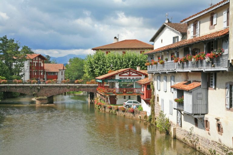
Saint-Jean-Pied-de-Port
Citadel, Rue de la Citadelle and the Porte Saint-Jacques; the pilgrims’ welcome office issues the credencial before the climb.
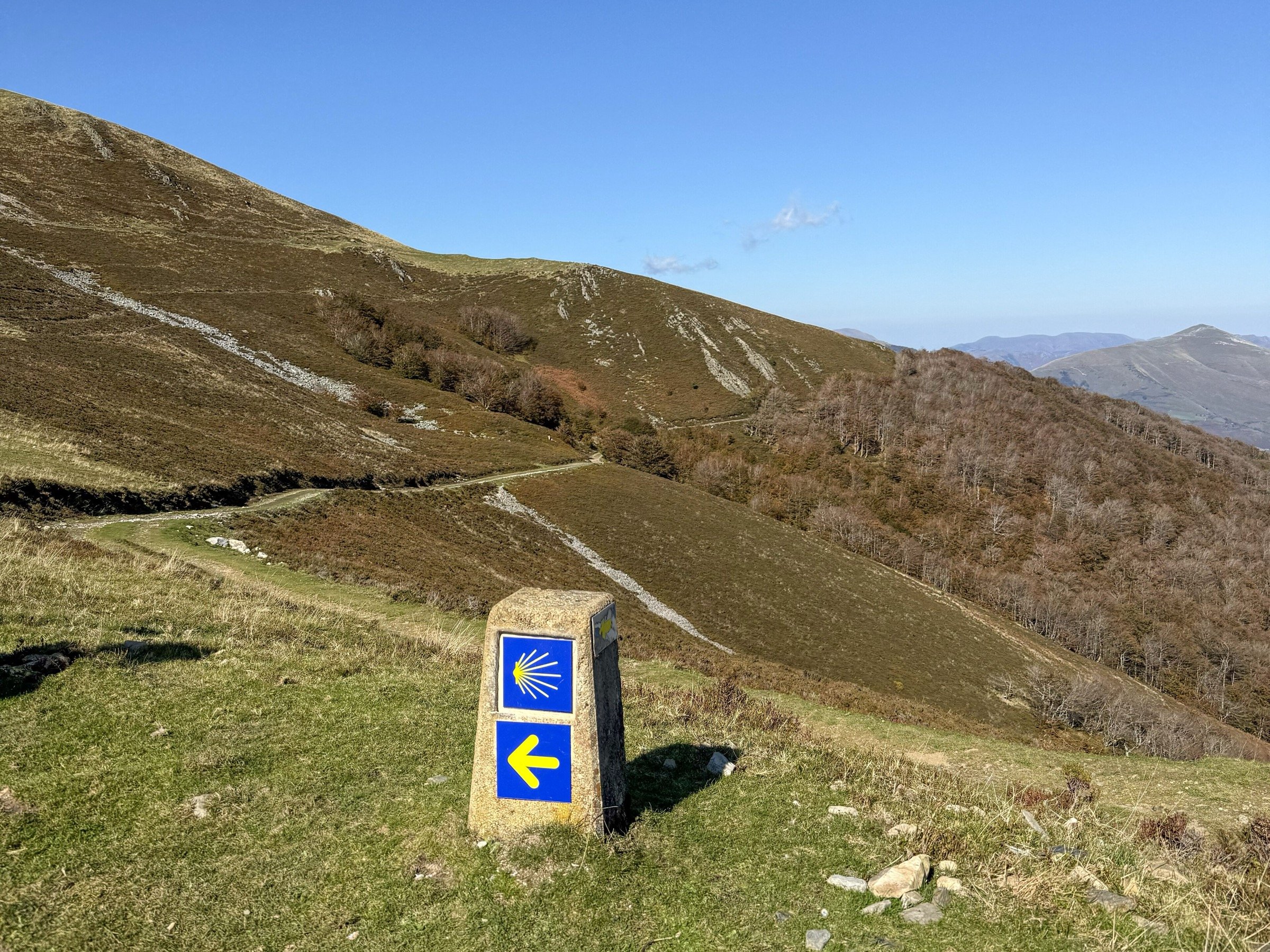
The Camino Francés, or French Way, crosses the Pyrenees at Roncesvalles, runs through Navarre, the vineyards of La Rioja, the plateaus of the Meseta and the Montes de León, then enters Galicia at O Cebreiro and drops from hill to hill to the cathedral of Santiago.
The elevation profile, computed along the route from the Copernicus European terrain model, reads as three mountain ranges separated by plains and plateaus.
Hover over a stage to read it, click to open it on the map.
The Pyrenees open the walk: from Saint-Jean-Pied-de-Port, the Napoleon route climbs in a single stage to the Col de Lepoeder, at around 1,430 m, before dropping to Roncesvalles. The route then drops gradually through Navarre and La Rioja, broken by ridges such as the Alto del Perdón and its wind turbines, crossed at around 770 m above Pamplona.
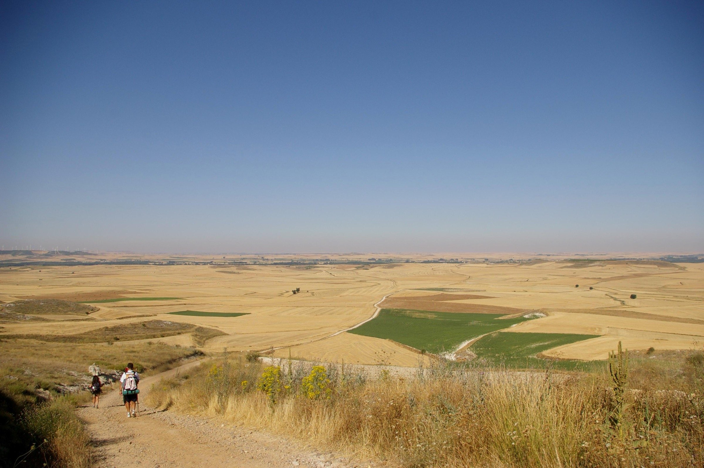
From Burgos to León, the Meseta unrolls flat cereal plateaus with almost no shade. After Astorga, the path climbs back into the Montes de León up to the Cruz de Ferro, the highest point of the route at around 1,500 m, drops steeply into the Bierzo as far as Ponferrada, then tackles the climb to O Cebreiro, at 1,330 m. In Galicia, the Alto do Poio, at 1,335 m, comes soon after O Cebreiro, then the hills come one after another, with long descents, down to Monte do Gozo.
Few walkers have five weeks, and the Camino Francés lends itself well to partial walks: most stage towns have a railway station or a bus stop, and all of them have albergues.
A short first stage out of Saint-Jean
The climb to Roncesvalles gains more than 1,200 m of elevation on the first day, from Saint-Jean, at 154 m, to the Col de Lepoeder. If your schedule allows, sleep at Orisson or Valcarlos to split it in two, or plan a short stage the next day.
San Fermín in Pamplona
From 6 to 14 July, the San Fermín festival fills Pamplona and its albergues at very high prices. On those dates, sleep before or after the city, in Zubiri, Cizur Menor or Puente la Reina.
Enter your available days and your pace; the planner suggests the starting point that gets you to Santiago in the time you have, with a day-by-day breakdown.
The most common starting points match round durations: one week from Sarria, two from León, three from Burgos. If you want the Compostela, tick the option: any start less than 100 km from Santiago is ruled out. The selected section is highlighted on the map.
Camino Francés stages from Saint-Jean-Pied-de-Port to Santiago
The table follows the classic breakdown into around thirty stages, with the distance, the elevation gain, the estimated walking time and the town at the end. Distances and elevation are measured on the OpenStreetMap route; times follow the Swiss hiking method, breaks excluded.
There is nothing compulsory about this breakdown: albergues exist in most of the villages in between, so you can lengthen or shorten a day. For the Compostela, remember the two daily stamps from Sarria onwards, over the last 100 km.
The places below appear on the map and in the stage table, with the distance left to Santiago.
Photo: W. Bulach, CC BY-SA 4.0key point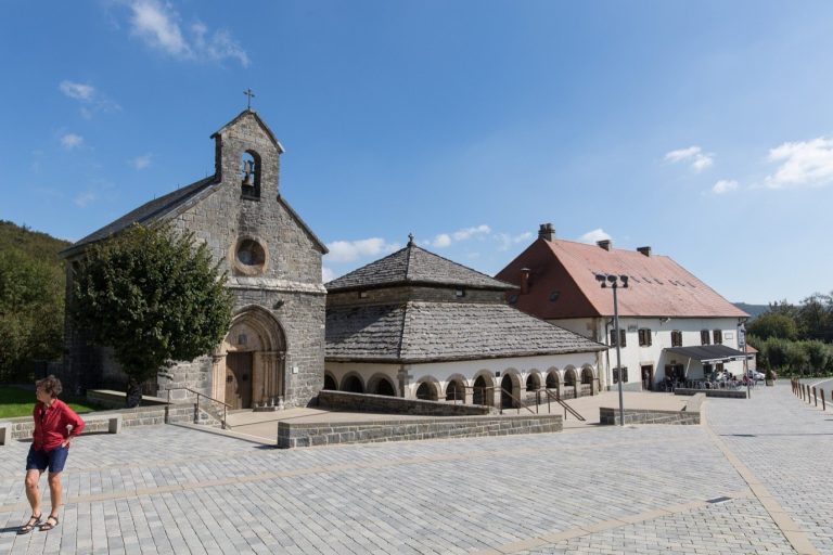 Photo: A1AA1A, CC BY-SA 4.0
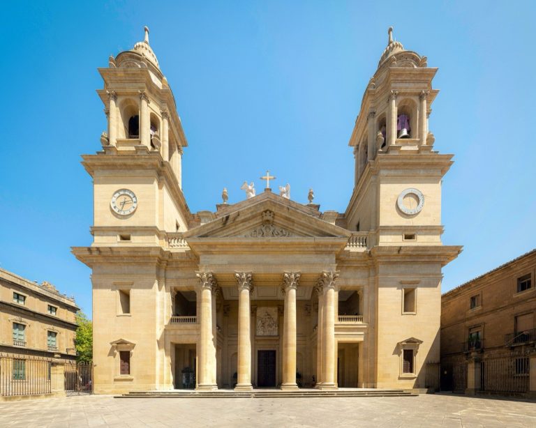 Photo: Fernando, CC BY-SA 4.0
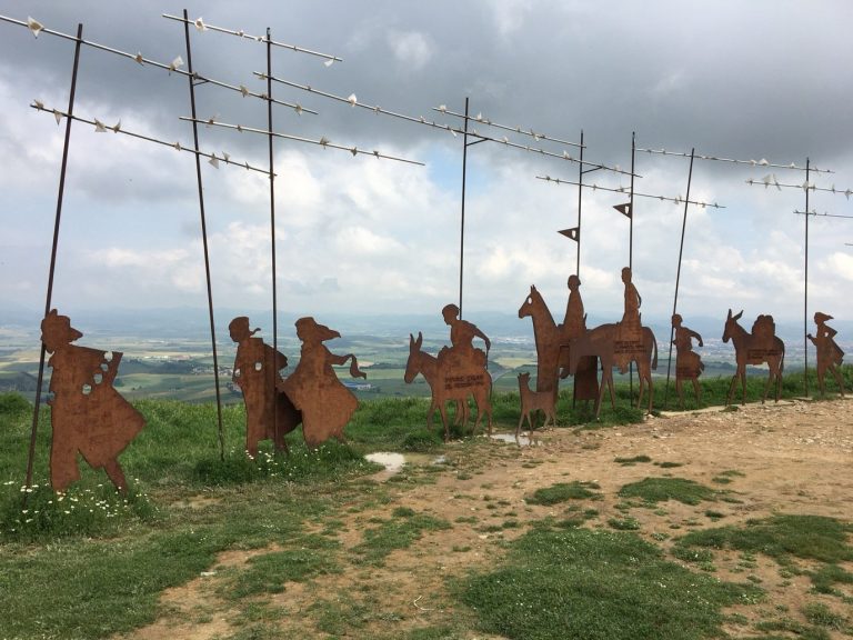 Photo: Birgitta Hellman Magnusson, CC BY-SA 4.0
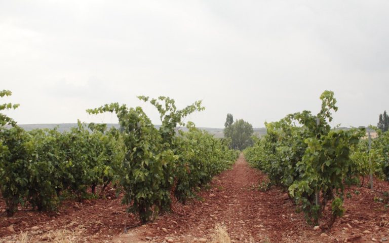 Photo: Wikimedia Commons, CC0
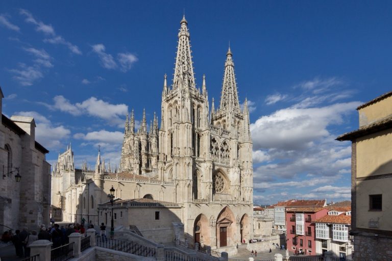 Photo: Carlos Delgado, CC BY-SA 4.0
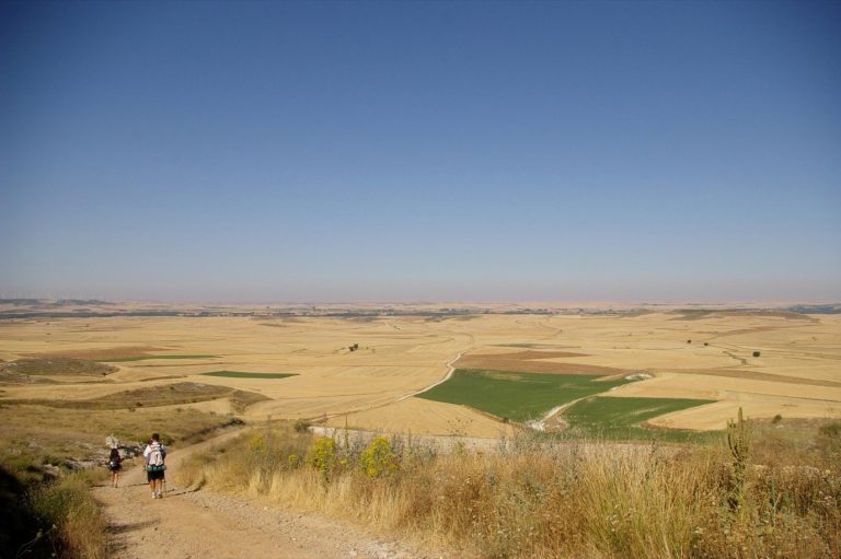 Photo: MartinD, CC BY-SA 3.0
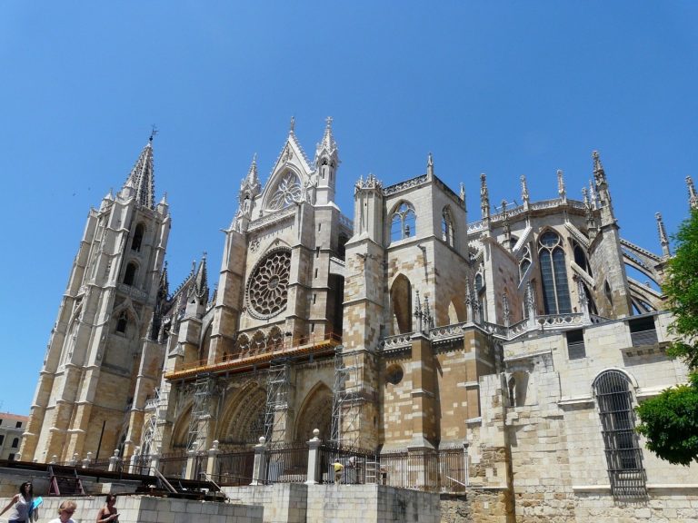 Photo: Nacho Traseira, CC BY-SA 4.0
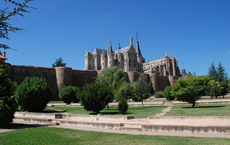 Photo: Wikimedia Commons, Public domain
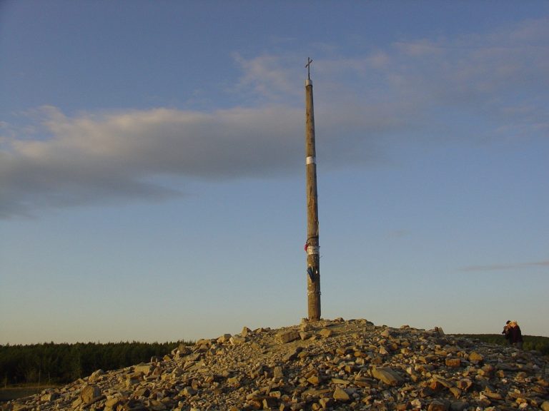 Photo: Vicente Maza Gómez, CC BY-SA 3.0
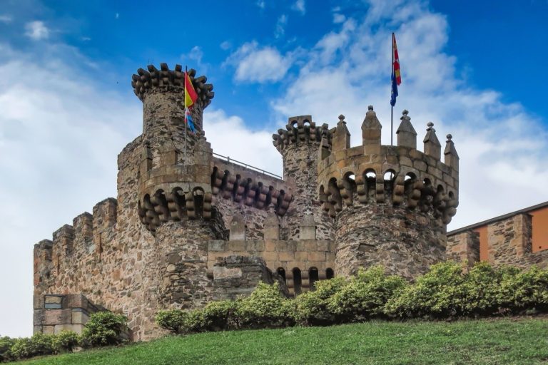 Photo: Wikimedia Commons, CC0
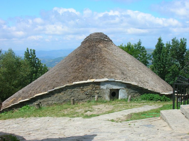 Photo: SanchoPanzaXXI, CC BY-SA 3.0
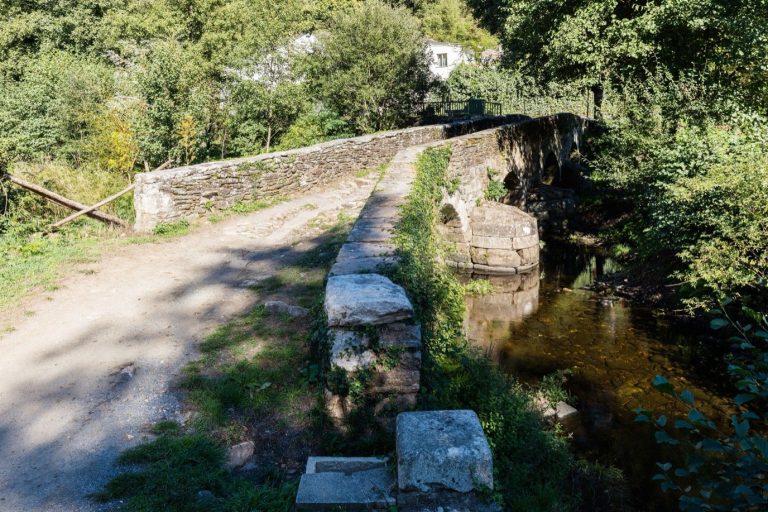 Photo: Diego Delso, CC BY-SA 4.0key point
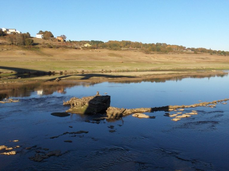 Photo: Dario Alvarez, CC BY 2.0
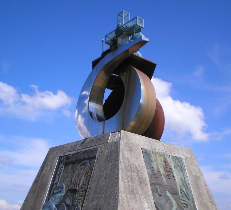 Photo: Carlos Delgado, CC BY-SA 3.0
From the first stage, two routes link Saint-Jean-Pied-de-Port to Roncesvalles.
Napoleon route closed from 1 November to 31 March
From 1 November to 31 March, the government of Navarre closes the variant over the Col de Lepoeder, between Saint-Jean-Pied-de-Port and Roncesvalles, because of repeated rescues in fog and snow; the Valcarlos and Ibañeta route becomes compulsory. The measure, in force since 2015, is renewed each autumn by official notice: check navarra.es again before a winter start.
The Napoleon route, via Orisson and the Col de Lepoeder, follows exposed ridges with very little shelter. The Valcarlos route stays on the valley floor, along the N-135, through Arnéguy and Valcarlos, and reaches Roncesvalles over the Ibañeta pass: less climbing in one go, more tarmac, villages to stock up in.
In Galicia, from Triacastela, two routes lead to Sarria: via San Xil, the more direct, through hamlets and sunken lanes, or via Samos, six to seven kilometres longer according to the guides, to pass the Benedictine monastery founded in the 6th century, which runs a guesthouse. Beyond Santiago, Cape Finisterre is three or four days’ walk away, Muxía a little further.
Albergues, the pilgrim hostels, line the Camino Francés at a greater density than any other route: every stage town has several, and many of the villages in between have one.
843 places to stay recorded along the route
Accommodation recorded in OpenStreetMap: a guide to how much there is, not a complete list. Switch on the accommodation layer on the map to see where.
Affiliate map: if you book through it, the site earns a commission at no extra cost to you.
The map of hotels, guesthouses and apartments is provided by Stay22, which sets cookies once it loads.
To book or not
From Saint-Jean to Astorga, outside summer and local festivals, you will find a bed without booking in the great majority of cases. Between Sarria and Santiago, from June to September and during Holy Week, book at least the day before; the 2027 Holy Year should add to the pressure on this section.
The albergues of the Xunta de Galicia, at €10 a night, start at O Cebreiro and are taken on arrival, no booking, for one night. Elsewhere, municipal and parish albergues each follow their own rules, often without booking, sometimes on a donativo basis; private ones, from €12 to €25 a bed, take bookings; guesthouses and hotels add to the choice in towns.
From Sarria, the July and August crowds fill the dormitories early in the afternoon: book the private albergues or set off at dawn for the public ones. The stage table gives the number of places to stay recorded in OpenStreetMap at each arrival town, an order of magnitude to check before you leave.
Saint-Jean-Pied-de-Port is reached by train from Bayonne: a direct regional TER train links the two stations in about an hour, several times a day.
Indicative times, check the timetables before you leave
The times above come from the operators’ pages (SNCF Connect, Txik Txak, Monbus, ALSA) and from comparison sites, read in autumn 2026; frequencies change with the season and the day of the week. Buy your tickets on sncf-connect.com, renfe.com and monbus.es.
Keep a day between arriving in Santiago and your trip home
A stage stretched by rain, tendonitis or a bed that proves hard to find pushes back everything that follows. A flight or a train booked for the day after your planned arrival absorbs that delay, leaves time to visit the Pilgrim’s Office and gives you an evening in the old town.
From Biarritz airport, lines 3 and 4 of the Txik Txak network reach Bayonne in twenty to thirty minutes depending on traffic.
Sarria has a railway station: Renfe trains arrive from Madrid in four to five hours, direct or with a change at Monforte de Lemos. By bus, Monbus links Lugo to Sarria in about half an hour, and a daily service leaves the Santiago bus station, calls at the airport and reaches Sarria in a little over two hours. León, Burgos, Logroño and Pamplona have stations on the main lines.
For the return from Santiago, city bus line 6A links the intermodal station to Rosalía de Castro airport in twenty to twenty-five minutes; the station handles high-speed trains to Madrid, around three hours for the fastest.
Around thirty stages for the whole route, that is about five weeks with one or two rest days, in Burgos or León for example. Fast walkers finish it in under a month; with stages of less than 20 km, allow six weeks.
From Sarria at the latest, just beyond the 100 km required on foot, with two daily stamps on the credencial. Starting from O Cebreiro or Ponferrada adds the mountains of Galicia and the Bierzo to the walk, with quieter stages as far as Sarria. By bike, the rule rises to 200 km, which means starting from Ponferrada or a point further away.
Between Saint-Jean-Pied-de-Port and Astorga, the density of albergues makes booking seldom necessary, except in Pamplona during San Fermín. Between Sarria and Santiago, in summer, at Easter and in a Holy Year, book the private albergues the day before; the public Xunta ones are taken on arrival.
The climbing is concentrated in three ranges: the Pyrenees, with the ascent to Roncesvalles, the Montes de León, with the climb to the Cruz de Ferro, and the mountains of Galicia, from O Cebreiro to the Alto do Poio; the long descents to Molinaseca or Triacastela test the knees. Between those ranges, the tracks stay easy going. The difficulty lies in the repetition: twenty to twenty-five kilometres a day for weeks on end, hence the value of worn-in shoes and a light pack.
May, June and September combine moderate temperatures with open albergues; early October stays pleasant, with shortening days. July and August add the heat of the Meseta to the Galician crowds. From 1 November to 31 March, the first stage goes through Valcarlos by decision of Navarre and some albergues close; the route remains walkable if you accept the cold.
The Napoleon route, over the Col de Lepoeder, offers the scenery of the Pyrenean ridges, at the price of a long climb exposed to wind and fog. Valcarlos, in the valley, suits bad weather and walkers who are just starting out; Navarre makes it compulsory from 1 November to 31 March. The pilgrims’ office in Saint-Jean reports on conditions at the pass the day before you set off.
Two routes join the Camino Francés in its final days. The Camino Primitivo, from Oviedo, crosses the mountains of Asturias and Lugo before meeting the Francés at Melide; the Camino del Norte, from Irún, follows the Cantabrian coast then turns inland as far as Arzúa.
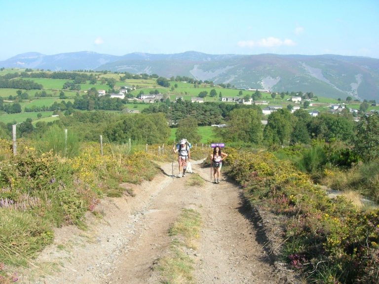 Photo: José Antonio Gil Martínez from Vigo, Spain, CC BY 2.0
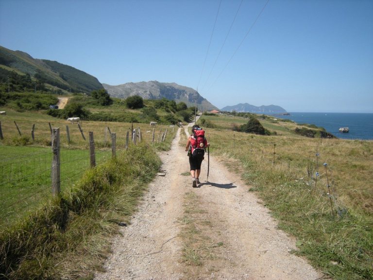 Photo: José Antonio Gil Martínez, CC BY 2.0
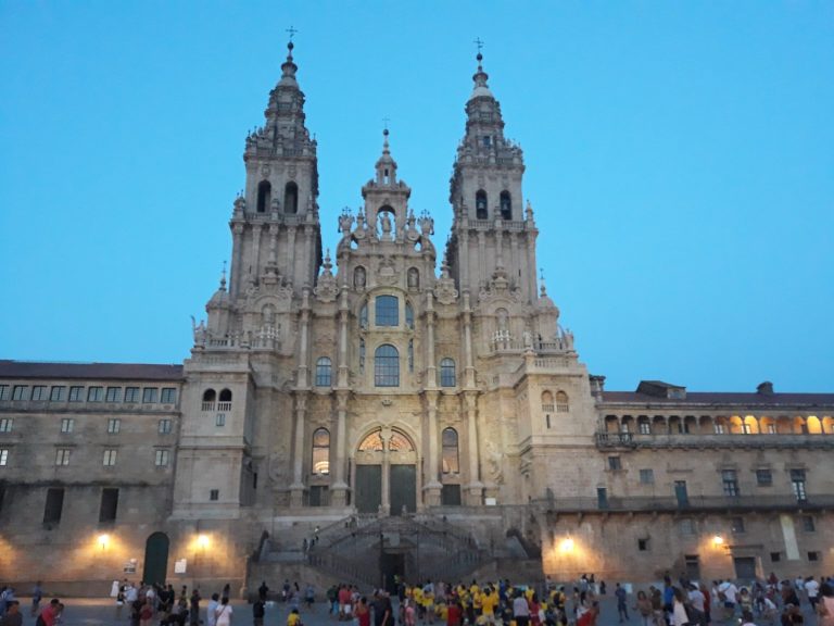 Photo: Simon Burchell, CC BY-SA 4.0
For the Compostela rules, the budget, the season and the packing list, the Camino de Santiago guide gathers the facts shared by all the routes.